Cleveland Heights & University Heights, Ohio: A Collection of Historic Images
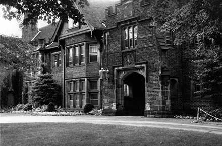
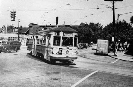
Cleveland Heights and University Heights are first ring suburbs located on the "heights" east of Cleveland, Ohio. While each is incorporated as a separate city, they share a school district and library system. Cleveland Heights was first incorporated as a hamlet in 1901, a village in 1903 and in 1921, a city. University Heights was incorporated as Idlewood Village in 1908 and adopted its present name in 1925 when John Carroll University made its home there. It later became a city in 1940.
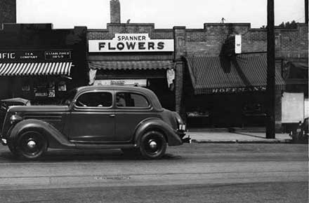
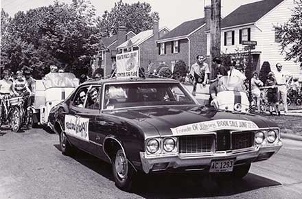
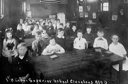
The majority of photos included in this collection come from the collection of The Cleveland Heights Historical Center at Superior Schoolhouse, owned and operated by the City of Cleveland Heights and from that of the Cleveland Heights/University Heights Public Library. Most photos depict Cleveland Heights’ many commercial districts, public parks and educational institutions. Other photos are from the collection of the Cleveland Heights-University Heights City School District.
Additional Links:
- City of Cleveland Heights
- Cleveland Heights Historical Society
- University Heights
- CH-UH City School District
- The Euclid Golf Allotment
- Cleveland Heights High School Alumni Foundation/Alvin R. Gray Photo Archives
- Sun Press Article - Cleveland Heights: Historical images now available online
- Cleveland's Park Allotment: Euclid Heights, Cleveland Heights, Ohio, and Its Designer, Ernest W. Bowditch - a Master's thesis by Kara Cathleen Hamley O'Donnell.
- The Euclid Heights Allotment: A Palimpsest of the 19th Century Search for Real Estate Value in Cleveland's East End - a Master's thesis by William C. Barrow.
About the Images:
The images reproduced here are only a small portion of the rich photo archives of the City of Cleveland Heights, City of University Heights, Cleveland Heights-University Heights City School District and Cleveland Heights-University Heights Library.

